
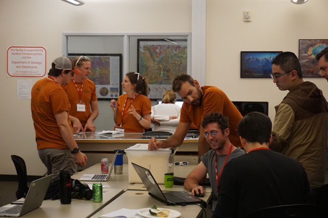
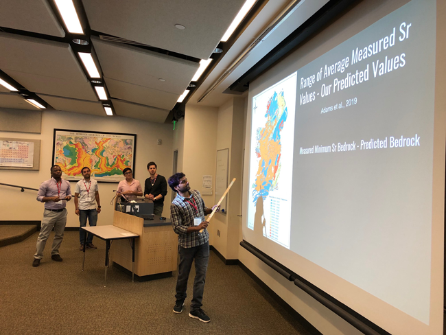
Each afternoon is spent learning-by-doing. Short, hands-on tutorials introduce new techniques, and students immediately translate these to practice. Each week you work closely with a group of peers and our course instructors to design, execute, and present a novel research project. Through this work you will both develop technical skills and gain experience with inferential and exploratory research approaches critical to many large-scale and meta-analytical studies.
Laboratory sessions introduce a range of tools and techniques, including:
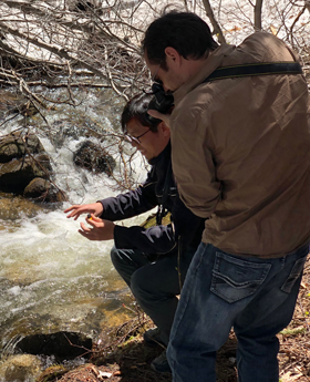
Although SPATIAL focuses on data use, we also emphasize our dependence on data creation. Lab groups spend a day in the field collecting samples and measure their water isotope ratios with a laser analyzer. Through this we discuss anlaytical technologies, standardization of data and metadata, data archival.
![]()
The Waterisotopes Database and isoBank are community resources to develop FAIR data repositories for isotope science. Get involved, find and share data!